
Drone Surveys
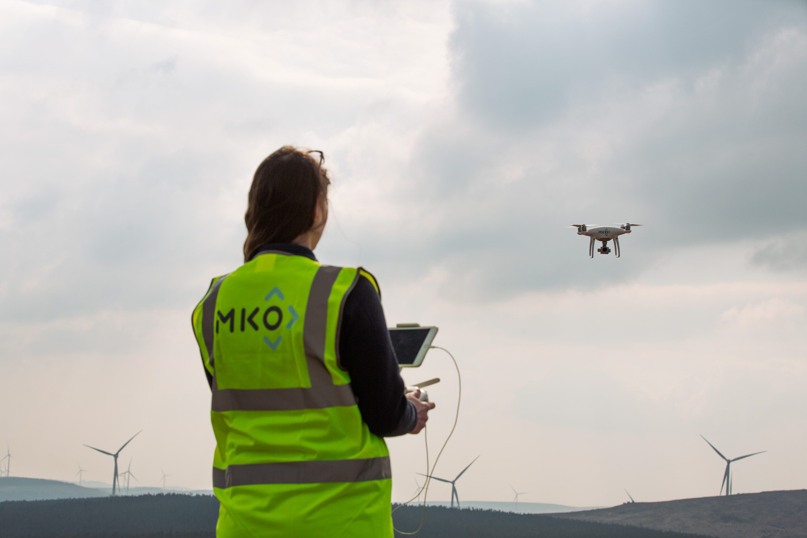
At MKO, our dedicated Drone Surveys team collects and analyses complex aerial, multispectral data to deliver easy-to-read insights and digital products.
We combine cutting-edge drone technology, fully certified remote pilots and extensive experience in image processing and remote sensing to offer a wide range of services across Ireland. Managing both data collection and data analysis, we plan our surveys to ensure the highest efficiency and best quality. By embracing innovative tools like Artificial Intelligence (AI) and the Internet of Things (IoT), we make the real world digital and enable our clients to easily interact with it through innovative outputs: Digital Twins, maps, spatial analysis, dashboards and reports can now enhance and support every step of your decision-making process.
Experts in this field
Key contact for Drone Survey team

drone surveys Key Services
Comprehensive Drone Survey services for effective project outcomes.
Digital twins
Digital Twins are 3D models of surveyed areas, accessible from anywhere through a simple web link. Coupled with tools, features and multiple layers of digital products, they are interactive, all-in-one-place 3D databases.
Topographic surveys
We efficiently capture sequences of aerial images across the site, no matter how large or inaccessible it may be. The images are then processed to generate centimetre-level resolution Digital Twins, maps, contours and any required spatial analysis output.
Wind turbine inspections
Our drones are mounted with high-resolution telescopic sensors that can detect the smallest defect along wind blades and towers. In addition to traditional reports, we deliver a browser image viewer and a dedicated online portal with a dashboard and analytics.
Solar farm inspections
Our drones are mounted with high-resolution thermal sensors that can detect any faults occurring with solar panels. In addition to traditional reports, we deliver a dedicated online portal with interactive maps, dashboards, layouts and analytics.
Roof and building inspections
Combining thermal and high-resolution cameras, we collect close-up images of roofs and facades to identify anomalies, cracks, water leaks and gas leaks. We conduct baseline and post-work surveys to assess increases in the energy efficiency of buildings.
Birds, nests and roosts mapping
Alongside our Ornithology team, we deploy thermal drones to detect and locate birds, nests or roosts while keeping an adequate distance from them. As we cause no disturbance, we can record high-resolution video footage for unprecedented insights.
Invasive species mapping
Multispectral imagery can be collected from drones in support of our Ecology Team, mapping the habitat of large areas in a fraction of the traditional time needed and automatically locating invasive species such as Rhododendron.
Construction site monitoring
By repeating the same flight mission regularly over time, we keep the consistency required to identify, quantify and report the progress of construction sites. We can layer multiple Digital Twins according to time series and empower the visualisation of any change.
Solar Farm Digital Twin
Case Study
Selected projects
Contact us