Ornithology

Exploring and studying avian species and behaviour.

Hike Group

Ornithology

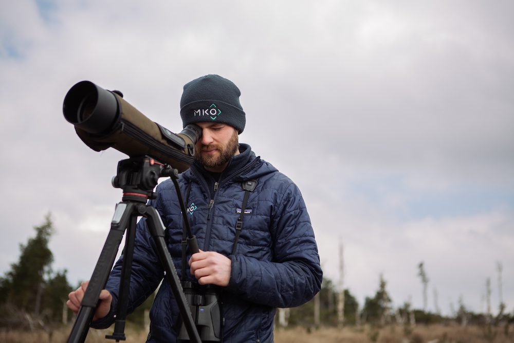
Our Ornithology team is Ireland’s largest, full-time professional Ornithology team.

Our people are deployed throughout the country and are led by senior ornithologists with international experience. Our team has the capacity to undertake complex and large-scale bird surveys for industrial and infrastructure projects and provides survey data and maps to the highest standard, following current best practices. Our team also provides ornithological reports, including summary reporting of survey data and Environmental Impact Assessment chapters. In addition, we undertake scientific research and monitoring bird surveys whenever the opportunity arises.

Experts in this field

Key contacts for our Ornithology team

  • Dervla ODowd

    Dervla O’Dowd

    Associate Director, Ornithology

    E:

  • Padraig Cregg

    Padraig Cregg

    Principal Ornithologist

    E:

  • Patrick Manley

    Patrick Manley

    Senior Ornithologist

    E:

  • Susan Doyle

    Susan Doyle

    Senior Ornithologist

    E:

Logo@2x

Ornithology Key Services

Comprehensive Ornithology services for effective project outcomes.

Bird survey design and scoping

With our technical expertise, industry experience and scientific knowledge, we can provide reliable advice on bird survey scope and design.

Breeding bird surveys

We use a variety of established methods to survey for breeding birds, tailored to the habitat present. Our team regularly surveys for breeding raptors, waders and other birds.

Winter bird surveys

We tailor our winter season surveys to birds likely to be in the area. Winter surveys include waterfowl, hen harrier roosts, golden plover surveys and others.

Vantage point surveys

We conduct vantage point surveys to record flight activity in an area, particularly for proposed wind farms. Surveys follow NatureScot methodology and provide data for use in collision risk models.

Viewshed analysis

We use viewshed analysis to quantify the precise number and location of vantage points to ensure full survey coverage. Viewsheds are analysed using Zone of Theoretical Visibility with mapping software.

Collision risk Modelling (CRM)

Our Ornithology team use Collision Risk Modelling (CRM) analyses (following the Band model) to predict bird mortality that may occur through the collision with wind turbines.

Specialist surveys

Our team undertakes specialist surveys for species of conservation interest including breeding red grouse, woodcock, kingfisher, barn owl, red-throated diver, chough and others.

Terrestrial grassland surveys

We conduct surveys in grassland sites proposed for development. These surveys may target birds such as geese, and provide information on bird abundance, distribution and habitat suitability.

Waterbird surveys

Our experienced surveyors conduct waterbird surveys using established methods to record waterbirds at both inland wetlands and coastline areas, including sites of high ornithological importance and protected areas.

Habitat enhancement plans

We prepare habitat enhancement plans for certain projects where the potential for the displacement of certain bird species from areas of suitable foraging habitat has been identified during the assessment process.

Large-scale bird surveys

We have a strong track record in undertaking complex and large-scale bird survey programmes, using multiple surveyors over multi-season durations. We have the largest private-sector ornithology survey team in Ireland.

Thermal drone survey

Our drone team can survey sites using a drone equipped with a thermal sensor to aid ornithologists in identifying, locating and mapping bird nests and roosts.

Conservation Detection Dogs

Our LANTRA certified conservation detection team uses specially trained dogs to monitor bat and bird collision mortality at wind farm sites nationwide. The dog lead searches occur around operational turbines, including collision monitoring surveys, searcher efficiency, and carcass removal trials. The results of the surveys are used to inform mitigation and monitoring strategies to help safeguard species throughout the lifetime of a project.

Case Study

Selected projects

  • 01

    Ardderroo Wind Farm, Co. Galway

    MKO secured planning permission, on behalf of Ardderroo Windfarm Ltd.

    Discover
    Rectangle 13942
  • 01

    Derrinlough Wind Farm

    MKO secured planning permission for a wind farm development, on behalf of Bord na Móna Powergen Ltd at Derrinlough, Co Offaly.

    Discover
    Rectangle 13942
  • 01

    Knocknamork Renewable Energy Development

    MKO secured planning permission from Cork County Council for a renewable energy development on behalf of Knocknamork Ltd.

    Discover
    Rectangle 13942
  • 01

    Shannon-Fergus estuaries waterbird usage surveys

    MKO was appointed by Clare County Council to carry out a large-scale bird usage survey of the River Shannon and River Fergus Estuaries Special Protection Area (SPA).

    Discover
    Rectangle 13942

Contact us

We’ll support your project at every step, with our expert team providing customised solutions.

Contact
Back to Top