Rhododendron is a species of flower native to Spain, Portugal, and various Asian countries. It was introduced to Ireland and the UK and Ireland in the 18th century for its beautiful flowers. However, one variety of the Rhododendron – Rhododendron Ponticum, is an invasive plant responsible for vast native habitat destruction in Ireland.
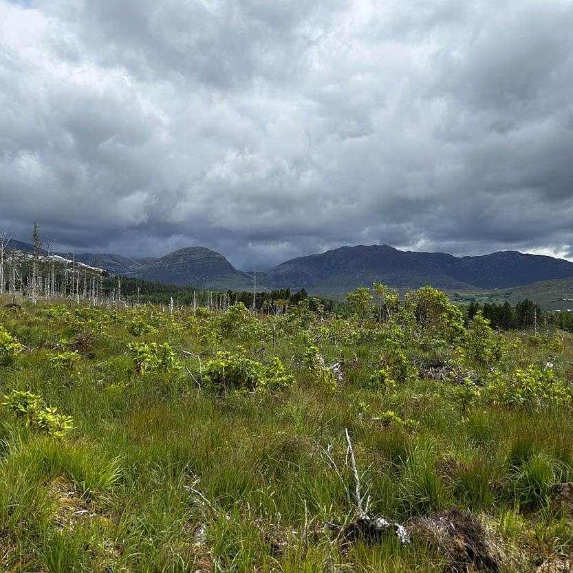
The fast growth and adaptability of this Rhododendron variety inhibits the regeneration of native plants and tree species all over Ireland, outcompeting them for light, space, and nutrients. Monitoring the fast spread of Rhododendron is a key factor for adopting an efficient solution to eradicate this invasive plant and limit its negative impact on the habitats of Ireland.
Traditionally, saplings of Rhododendron are mapped through extensive ground surveys and manual GPS measurements. However, this procedure is extremely time-consuming when considering the vast areas to be surveyed. Also, human error can often result in inaccuracy, especially on sites that are inaccessible or difficult to walk across.
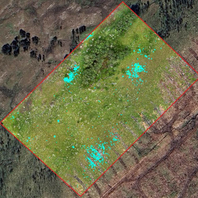
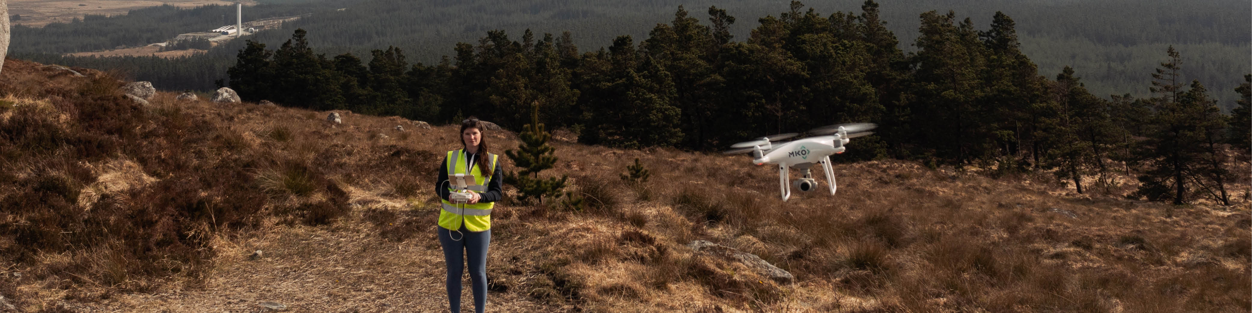
MKO has recently conducted a case study in Connemara National Park using its new thermal drone to overcome these issues.
- Flight missions were performed over two different trial areas of upland habitat to generate aerial, georeferenced maps of very high resolution (cm accuracy). The overall habitat surveyed comprised an area of 10 hectares.
- One area was then used as a training dataset to calibrate a supervised algorithm able to automatically detect each sapling of Rhododendron visible on the ground.
- The algorithm was eventually used in the second area to validate the calibrated parameters.
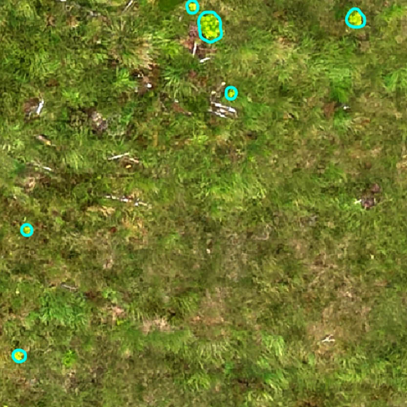
The results, both in the training and in the validation area, were very insightful: the algorithm successfully detected and located most of the hundreds of saplings on the ground with very few exceptions.
The combination of drone mapping and computer vision drastically increased the operation’s accuracy and efficiency. To spot and measure the same saplings over the two areas, a traditional ground survey would take several days of fieldwork and multiple people, probably still missing saplings here and there. Instead, the thermal drone took less than one hour to execute the flights and a few hours of data processing and spatial analysis.
At MKO, we look forward to exploring the huge potential of replicating this method in different locations to support Rhododendron monitoring activities nationwide. The same procedure will be fine-tuned for different invasive plant species and different invasive animal species, easy to identify from the surrounding environment thanks to the thermal camera mounted on the drone.
Contact our team you want to know more about this and other projects involving this new MKO Drone Service.