Our landscape and Visual Team has provided LVIA, Graphics and CAD services for a wide range of projects and planning applications in 2023. The team has grown substantially across all three disciplines (LVIA, Graphics and CAD), as well as the addition of a new innovative Drone Surveying Service.
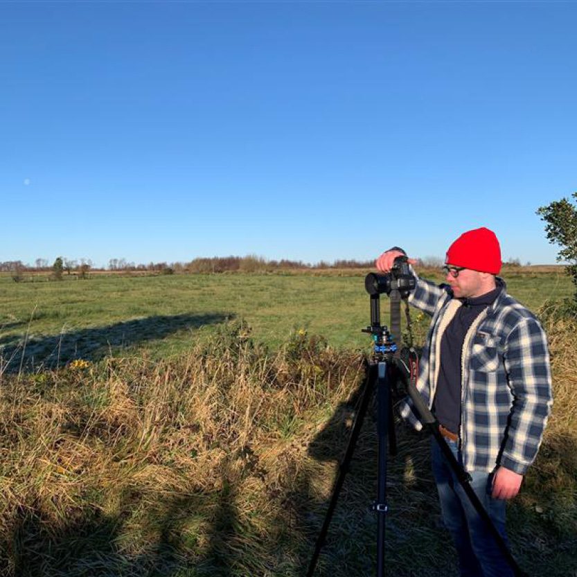
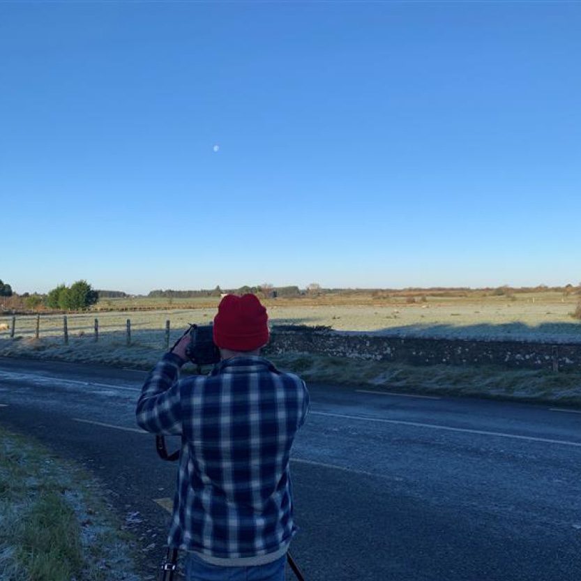
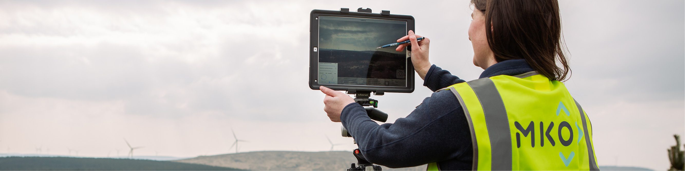
Landscape and Visual Impact Assessment (LVIA) is an increasingly important requirement in the planning system both as part of Environmental Impact Assessment Reports (EIARs) and as independent reports in planning applications. We have provided LVIA services and verified photomontage visualisations for many projects this year, including wind and solar renewable energy developments, quarries, housing and other large-scale infrastructure projects.
LVIA was on the agenda during visits to the University of Galway, University College Cork and Trinity College Dublin, where the team presented to the next generation of LVIA Specialists. In September, the LVIA team attended the National Landscape Forum in Waterford, where Jack Workman, Project Director, presented on ‘Landscape Change and The Green Energy Transition’, an important topic that sparked much interest and debate among attendees.
Our Graphics team continued to support the LVIA team with photomontages of ever-increasing accuracy and quality. The graphics team have diversified, with the capacity to provide new interactive visualisation tools and services, for example:
- 3D Modelling – Verified Photomontages and CGIs
- Virtual Consultation Rooms
- Digital Panoramic Photomontage Viewers
- Websites, Brochures and Posters
Our dedicated CAD team produce the technical planning drawings that illustrate the design and layout of a development proposed as part of a planning application. The CAD team has grown this year and continues to upskill and improve their technical competency, including the following:
3D Civils: Modelling and illustration of ‘Cut and Fill’ and volume calculations to support the design of new developments;
Autotracks -Turbine Delivery Route: Modelling of large transport vehicles through local road networks to ensure delivery of large wind turbine blades to remote upland sites.
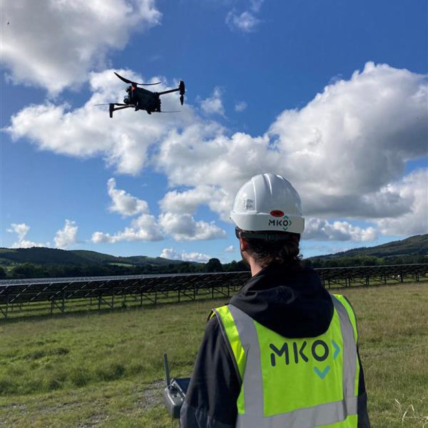
In 2023, MKO welcomed Pietro Salvagno, a drone surveying expert, to the team, equipped with a shiny new thermal drone. Pietro and the Landscape and Visual team have been deploying this innovative technology to support and enhance other services at MKO. This includes work on areas of scientific research and projects for existing MKO clients. Some examples are listed below:
Thermal drone:
- Analysis of building heat efficiency;
- Solar Panel Inspections – Infrastructure Monitoring
- Ornithology – Geo-location and identification of Bird Roosts.
Digital Twins:
- Environmental and Ecological Surveys;
- Infrastructure Monitoring – Construction Sites; Quarries; Wind Farms
- Visualisations for LVIA
- TDR Junctions
Machine learning :
- Invasive Species Monitoring: Supervised classification algorithms for detecting Invasive Species, e.g. Invasive Rhododendron in Connemara National Park.
2024 outlook
As the saying goes – ‘Seeing is believing’, and illustration and visualisations are crucial to understanding and communicating the potential impact of future developments. In 2024, the Landscape and Visual team will continue to innovate and develop our services by bringing together and consolidating our technical expertise and research (drone, 3D, geospatial graphics) as the world moves towards a more ‘Digital’ and ‘Visual’ future.