
MKO is delighted to have supported Cork City Council and the National Parks and Wildlife Service (NPWS) in delivering a significant biodiversity initiative across Cork City. The Cork City Habitat Mapping project involved the survey and mapping of habitats within 24 Strategic Survey Areas (SSAs) across the Cork City Administrative Area, creating a comprehensive baseline inventory of habitats, flora and fauna and identifying areas of high biodiversity value.
Through extensive field surveys, MKO recorded habitats within the SSAs as well as invasive species, faunal records and other ecological data. The findings revealed a rich diversity of habitats ranging from local to national importance. This valuable dataset will help inform future biodiversity management, conservation planning and environmental policy development across the city.
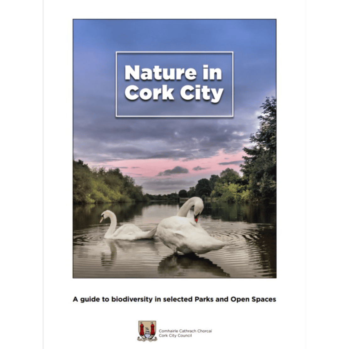
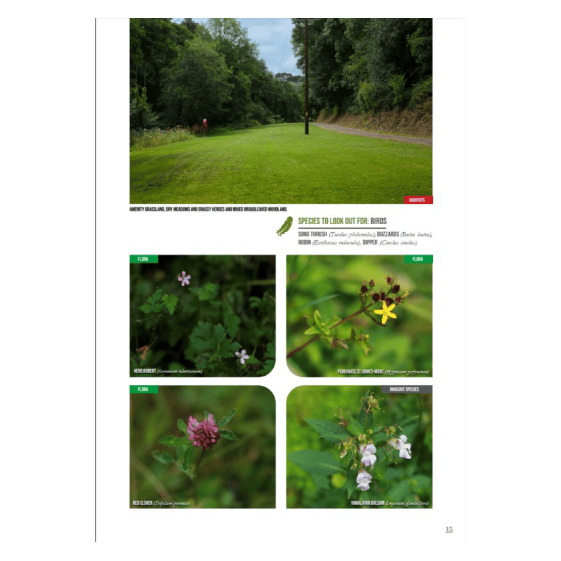
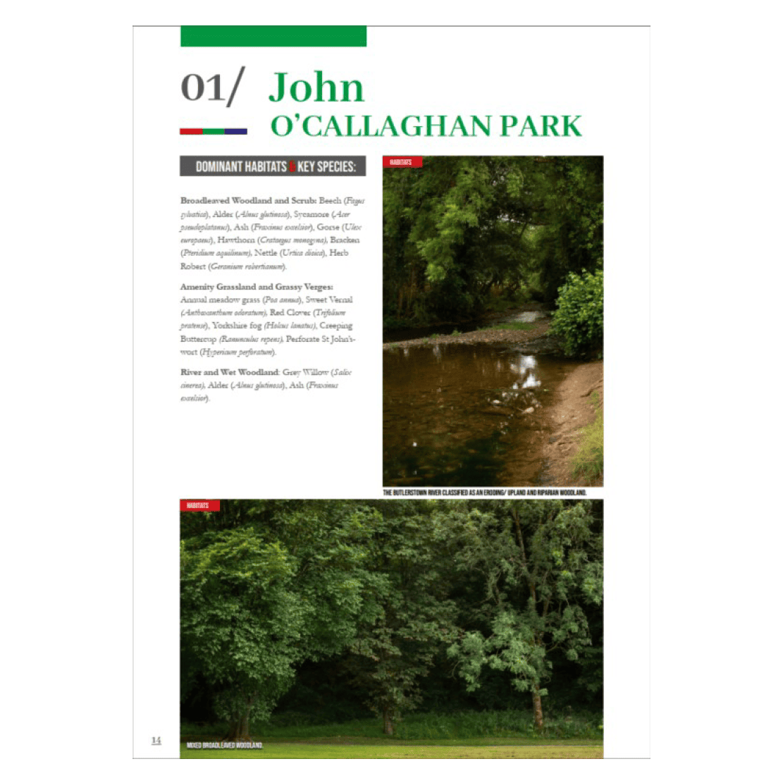
Building on this work, MKO collaborated with Cork City Council, especially their Biodiversity Officer Usna Keating, to produce a heritage booklet showcasing the ecological value of Cork City’s parks, greenways and open spaces. The publication highlights 13 publicly accessible walks and amenity areas, celebrating the rich diversity of wildlife and habitats that can be found throughout the city through the use of descriptive text and natural imagery. Designed to encourage public appreciation and understanding of nature, the booklet invites residents and visitors to explore Cork’s green spaces and discover the biodiversity that surrounds them.
The booklet showcases Cork City Council’s commitment to preserving and enhancing its parks, greenways and natural spaces while ensuring they remain welcoming and accessible for everyone to enjoy. Through habitat enhancement, sustainable management practices and collaboration with local communities, the Council is helping nature be celebrated and protected within an urbanised landscape. By highlighting the wildlife and natural beauty found in these spaces, the project encourages people to explore, appreciate and develop a stronger connection with their local environment.
These two projects represent a significant collaborative achievement and showcase the expertise and dedication of our in-house GIS, Graphics, Ecology and Landscape & Visual Impact Assessment (LVIA) teams. From detailed ecological surveys and habitat mapping to high-resolution photography, graphic design, biodiversity communication and public engagement, this project showcases the wide range of expertise within MKO. It highlights how our multidisciplinary teams work together to deliver meaningful environmental outcomes for clients, communities and the natural environment. The booklet will be released in the coming weeks and will be available to the public via Cork City Council’s website.