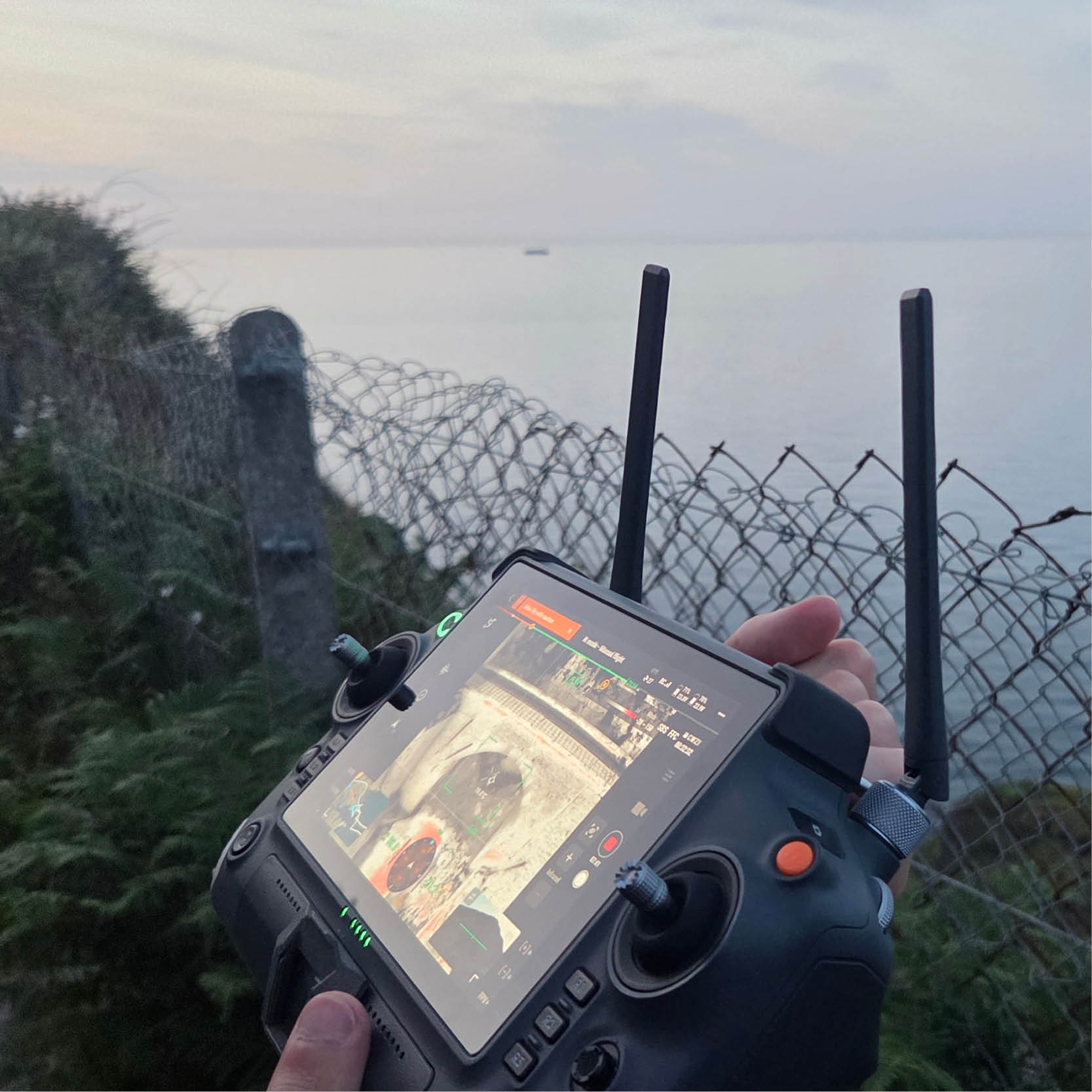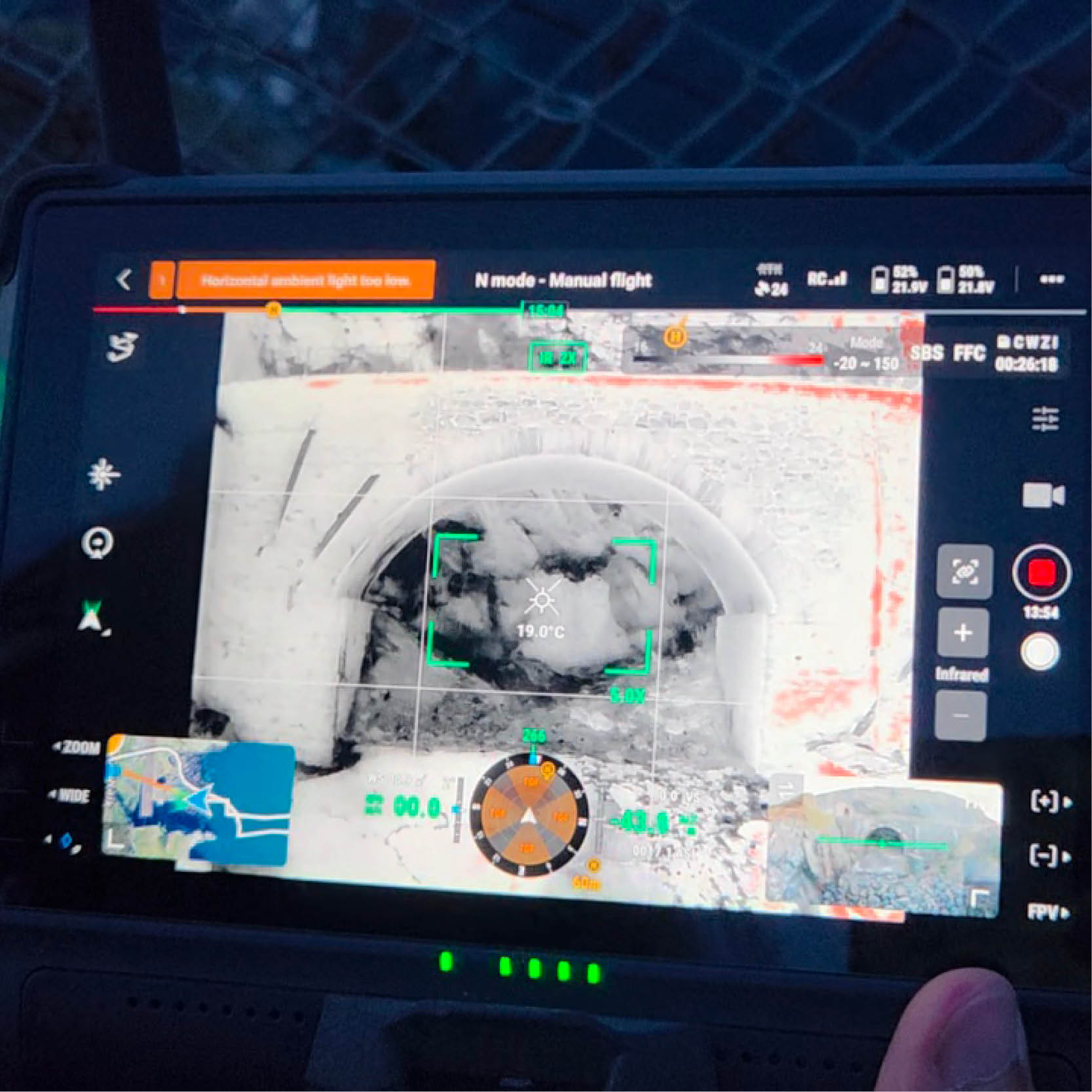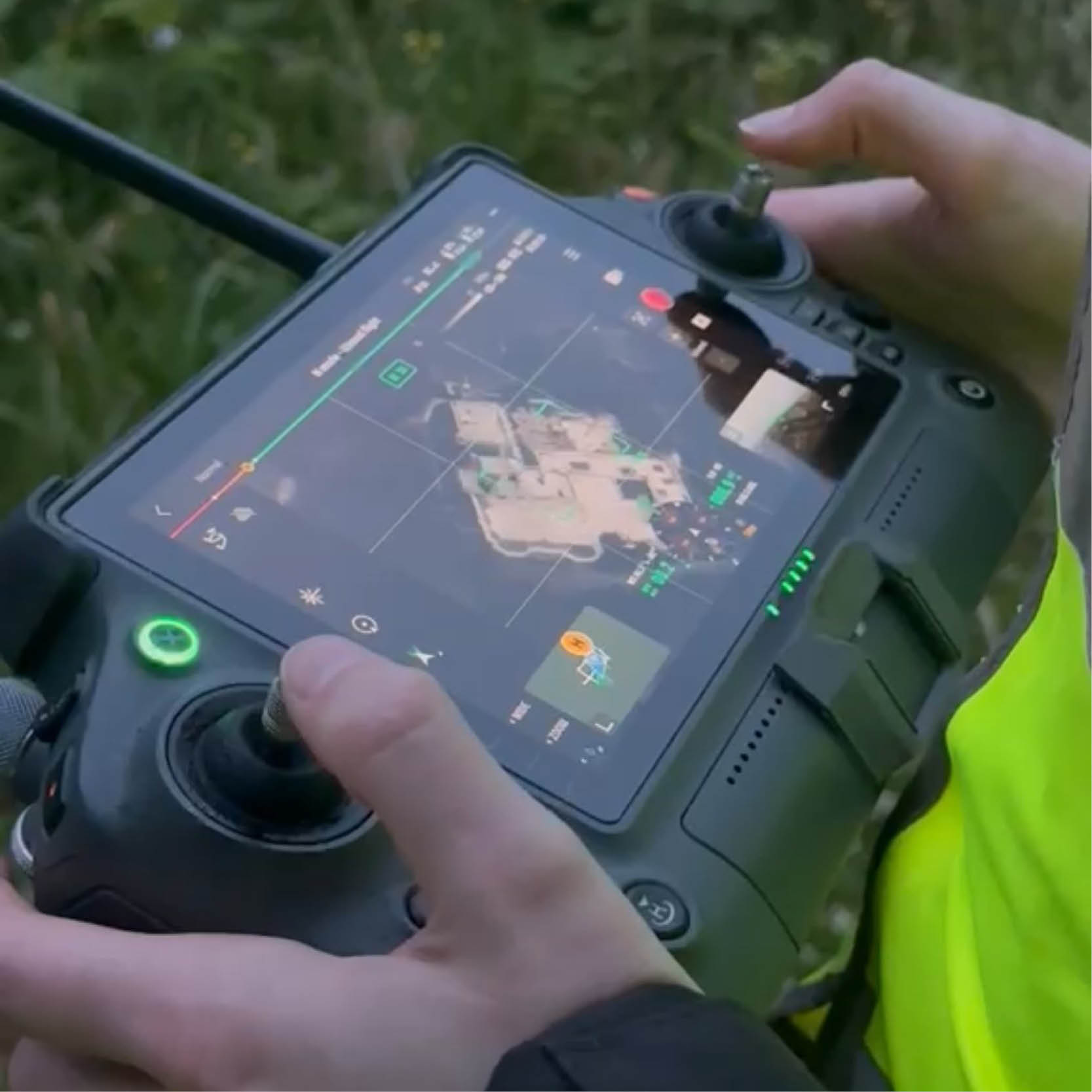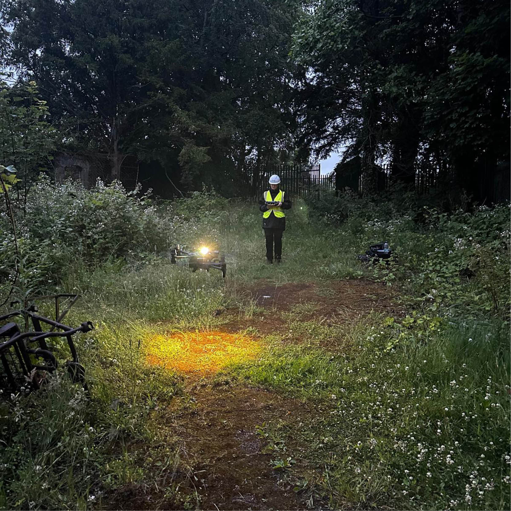

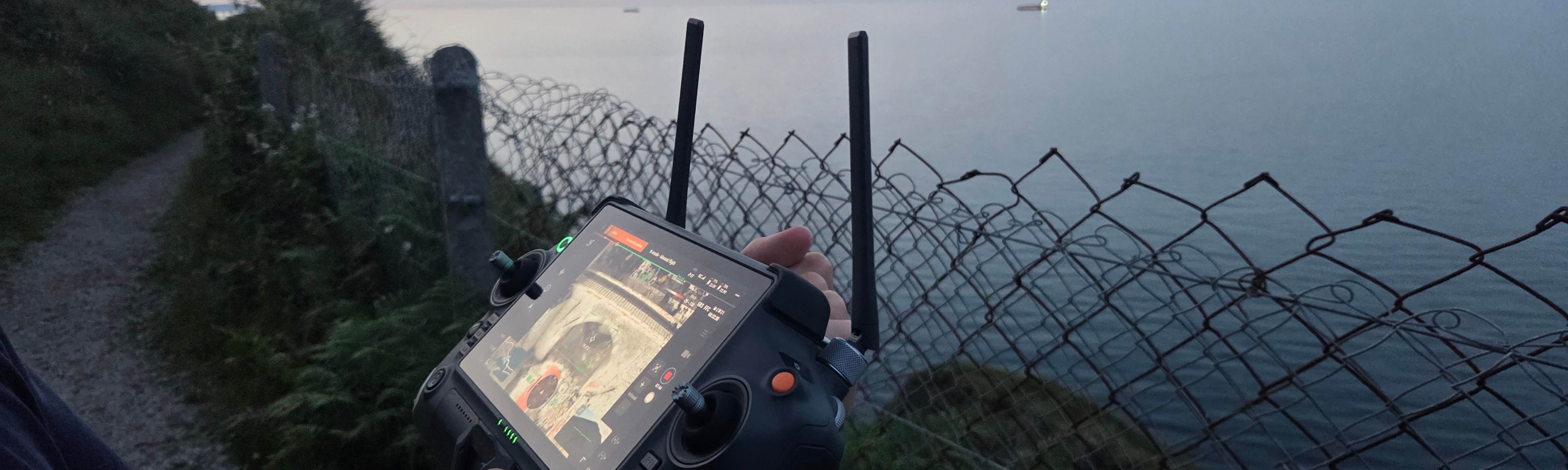
As bat survey season winds down, we’re taking a moment to look back on one of the highlights of another busy field season: the use of our thermal drone across a range of projects.
Over the past few months, the thermal drone has helped us survey features and structures that would be time-consuming, or sometimes unsafe, to assess using traditional methods alone. It has been particularly useful for inspecting elevated structures and assessing roosting features that are hard to reach from the ground. This has allowed us to gather valuable information while reducing risk to surveyors and keeping disturbance on site to a minimum.
Flown by our licensed drone pilots, the thermal drone has become an important part of our survey toolkit. It complements conventional bat survey techniques and it allows us to work more efficiently in the field. Combined with the experience of our ecologists, it helps us provide reliable survey data while improving safety and access on site, which in turn supports project delivery for our clients.
It’s been great to see the difference this technology can make across such a variety of sites, and we’re looking forward to developing its use further on future projects.
Looking ahead to next season, now is a good time to start planning ecological surveys and constraints assessments for upcoming developments. While we’ve found thermal drones especially effective for bat surveys, they also have wider ecological applications, including bird surveys, nest detection and habitat mapping.
If you’d like to learn more about how thermal drone technology can support bat surveys, building inspections, or preliminary site assessments, we’d be happy to talk through your survey requirements.